About FeralMap
Community-powered conservation for Hawaiʻi
Our Mission
FeralMap provides an easy and effective way for the community to report feral and invasive animal sightings across Hawaiʻi. By making it simple to document and share observations, we empower residents, visitors, and conservation professionals to contribute to protecting Hawaiʻi's unique ecosystems.
Our Story
FeralMap is the next evolution of CatMap (hawaiicats.org), the pioneering community mapping tool developed by Nene.org. Building on CatMap's success in tracking feral cat populations, FeralMap expands the platform to cover a comprehensive range of invasive species threatening Hawaiʻi's native ecosystems.
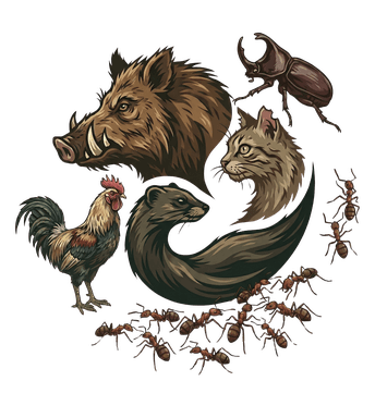
What started as a focused effort to understand feral cat distribution has grown into a multi-species reporting system that helps track pigs, goats, mongoose, axis deer, coqui frogs, little fire ants, and many other invasive animals across the islands.
Why It Matters
Invasive species are one of the greatest threats to Hawaiʻi's native wildlife and ecosystems. From feral pigs destroying native forests to mongoose threatening ground-nesting birds, these animals cause significant ecological and economic damage.
Community observations are crucial for:
- Early detection of new invasive species
- Tracking population distributions and trends
- Supporting conservation management decisions
- Informing public awareness and education
- Giving agencies and researchers open data they can use, though FeralMap does not forward reports to them
Open Data for Conservation
Every report has a public projection: species, kind of observation, count, day and a location generalized to a map cell, plus prepared copies of attached photos. Notes, original photos, exact coordinates and reporter details stay private. The public part is open to researchers, policymakers, conservation groups and anyone else.
Our data is shared under a Creative Commons license, ensuring it can be used to inform conservation strategies, scientific research, and public policy decisions that protect Hawaiʻi's natural heritage.
Download the public dataset (CSV and GeoJSON, refreshed nightly, with a column guide and the citation line).
What happens to a report
Every report takes the same steps. A review checks a report; it does not send it anywhere.
Received
Your report is saved with a receipt once it reaches FeralMap. Its public summary (species, kind, count, day and a generalized map cell) goes on the map without waiting for review.
Reviewed
A FeralMap reviewer reads the report and records a decision with a reason. A review checks the report; it does not confirm how many animals there are.
Then one of these
Logged for monitoring
The report stays in the public record, on the map, in area and island counts and in open data, where it helps show where invasive animals are being seen.
Referred
When an agency is the right responder, such as the statewide 643-PEST hotline (808-643-7378) for pests like little fire ant or coconut rhinoceros beetle, contact that agency directly. FeralMap does not pass reports on for you.
Not kept
A report that is not an observation, or that cannot be placed, is marked not kept, and the reviewer records why.
Nothing is sent to a government agency. If something needs an urgent response, contact the responsible agency directly.
Who We Are
FeralMap is developed and maintained by Nene.org, an independent conservation technology project focused on Hawaiʻi's native species and ecosystems. FeralMap is not a government service. Reports stay with FeralMap unless you contact an agency yourself.
Get Involved
Every report makes a difference. Whether you spot a feral cat in your neighborhood, mongoose on a trail, or pigs in the forest, your observations help build a comprehensive picture of invasive species across Hawaiʻi.
Ready to contribute?